GUEST BLOGGER: Lt. Chris Rogers, Kirkland Fire Department, WA. (Editor's note: A special thanks to Lt. Rogers for taking the time to share his insights on the future of technology, preplanning, and geospatial issues facing our industry. The opportunity to exchange ideas with the brightest minds in the fire service is one of the best aspects of our job here at Intterra.)
The future is looking bright and shiny when it comes to all of the new technology becoming available to public safety officials. It's exciting to think that the advanced systems currently emerging will be perfected in the coming years and even more powerful technology will be developed.
For folks in the fire service, some of the most promising breakthroughs are in the area or geospatial mapping and the tremendous advantages it will provide to everyone on the ground. In the next five years, you are going to start to see increasing use of geospatial data to enhance the safety of responders and give them the edge they need to better protect people and prevent tragedies.
Today, firefighters view data from a variety of disparate sources presented in a number of different forms. They could be looking at map books, paper pre-incident plans, CAD premise data, computer maps, inspection records, and other pieces of data. All this information is beneficial at varying points throughout the incident. However, this data is often "siloed," and in many cases repetitive. The common thread running through all of this information? Geographic location.
While the data we have today can be difficult to manage and analyze, it works relatively well. What you will begin to see in the near future, however, is information presented across a continuum to better support firefighters at different stages of a response--at the firehouse, enroute to the call, as they arrive on-scene, and during the recovery period. This type of information will also be available for every event; from a single unit service call, to a multi-alarm fire, to an EMS incident, to rescue or hazmat situations.
"The key is to gather useful geospatial data
as efficiently as possible."
Today we collect:
- Data from mobile devices of various kinds
- Public "crowd sourced" information
- Content mined from:
- CAD systems
- Open source (free) providers
- Government agencies
- Occupants or owners directly
This idea of “big data” has been around for a while, but it has become increasingly apparent that many of these sources can be valuable to firefighters. However, if proper limits are not placed on this information, recipients can find themselves drinking from a deck gun rather than a garden hose.
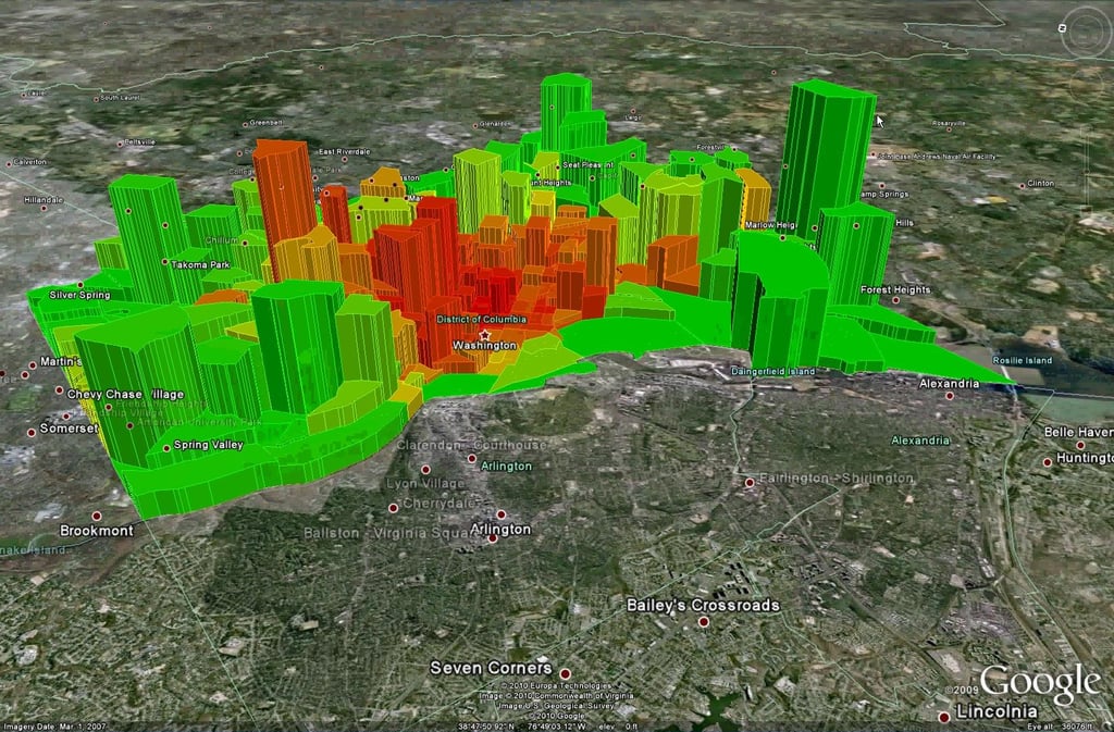
Data must be aggregated into usable chunks. Some of it should be presented in easily absorbed formats like maps or pictures. For example, a map depicting a structure fire could include preplan information, photos, video, social media input, and many other enhancements. In combining all that information, you might also produce a representation that “something bad” is happening where you are responding in the form of a heat map.

Another way to aggregate information: Type of Call
In order to be efficient in your response, you want only information focused on your call to be displayed. For example, a fire hydrant location is really not applicable to an active shooter incident or an EMS call, but a key box may be important.
| There are a lot of things we could consider that drive what we should share |
| Type of call |
| Time in the incident |
| Importance of the feature to responders |
| How critical the information is to responder or victim safety |
| Your role in the response |
| Calculated risk of the entire area |
Also evolving is how we collect and represent geospatial information recorded by public safety personnel. Everyone agrees that these responders have the opportunity to enter a vast amount of information into the system. However, the key is to not overwhelm the user with a large amount of information to input, but instead to "symbolize" the information so that it can be entered more efficiently.
For example, it may be useful to represent hazardous materials with a particular DOT-like placard. However, it would be cumbersome to have a large list of features to add. A better approach is to have a small list of features that can be added directly to the map, with those features then being associated with a set of attributes. This way, public safety responders can quickly acknowledge what is happening and indicate who to deploy, where the incident is, and the risks involved.
Overall, it's looking like geospatial mapping and a number of other technological advances will be changing the way we do our jobs in the near future. It will take some getting used to, but everyone in our profession will be better for it. Putting this type of technology in the hands of public safety officials will give us an edge and allow us to prevent tragedies for both citizens and responders.
Our blog is great source of information on all things fire, data, technology, and integration. Click below to learn more.


